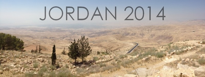
Upon the completion of our three week study in Israel, a number of us remained with JUC for a few extra days to go on an excursion to Jordan. Although I wasn’t required to write a report for the school, I thought it would be fitting to share my experience here on the blog. I’m condensing the entire trip into one post, but I’ve tried my best to be thorough!
DAY ONE: JERASH, JABBOK RIVER, DIBON, ARNON CANYON
Our journey to Jordan began early on Saturday morning with a long bus ride to the customs checkpoint along the Jordan River. After sending my personal effects through a couple of x-ray machines and receiving a ‘how do you do’ from a particularly handsy security guard, my passport was stamped and I was welcomed into the Hashemite Kingdom of Jordan.
Our first stop was at Jerash, or Gerasa, a Decapolis city. Some believe that Jerash is the city called Gergesa in the Bible (where the ‘swine miracle’ took place), but seeing how far it is from the Sea of Galilee makes it somewhat doubtful. I tend to agree with our instructor, who believes that Gergesa is modern-day Kursi.
Jerash has been impeccably preserved and restored, offering plenty of fodder for picture-taking:
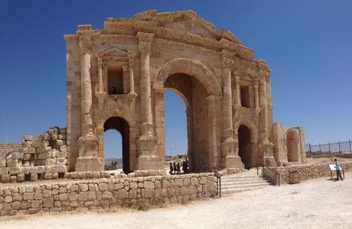
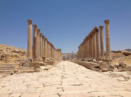
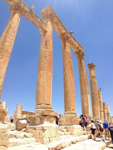
One of my favorite moments at this stop was when we visited the amphitheater. To demonstrate the acoustics of the building, our tour guide asked me to sing for my classmates. I sang the first verse of ‘Come Thou Fount of Every Blessing,’ and sure enough, the sound echoed throughout the seats. It’s not every day that you get a chance to sing a Christian hymn at the site of ancient Roman ruins in a predominantly Muslim region!

Our next stop was at an overlook of the Jabbok River, where Jacob wrestled with God. Throughout our course we learned about how, in the Bible, whenever someone crosses a body of water, it often symbolizes change. Whether it’s the Red Sea, the Jordan River, or here at Jabbok, some kind of transformation takes place. This is something that I didn’t pick up on before, so now I’m interested in learning more and exploring its parallels with Baptism.
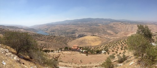
We then traveled to Dibon, where we learned about Israel’s relation to the Moab. Our instructor told us about the discovery of the Mesha Stele and how it informs our understanding of Israel’s conflicts with the Moabites.
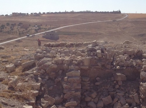
Our final stop of the day before heading down to Petra was the Arnon Canyon. The Arnon served as a boundary line for various tribes throughout the Bible (Moabites, Amorites, Reuben, Gad, etc.). More than anything, this stop provided yet another breathtaking view of the land of the Bible.
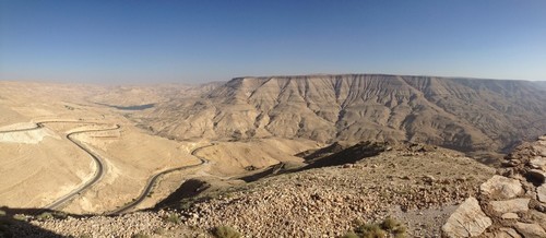
DAY TWO: PETRA, DANA WADI, BOZRAH
I won’t lie: day two of our trip is the reason I signed up for the extra excursion. I’m a huge Indiana Jones fan, so being able to visit Petra was a dream come true. Petra itself has little relevance to the Bible, except that it belonged to the Nabateans. Here, I behaved far more like a tourist than a student, taking few notes but many photos.
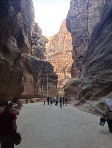
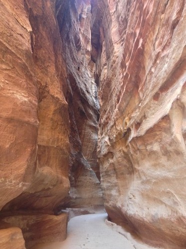
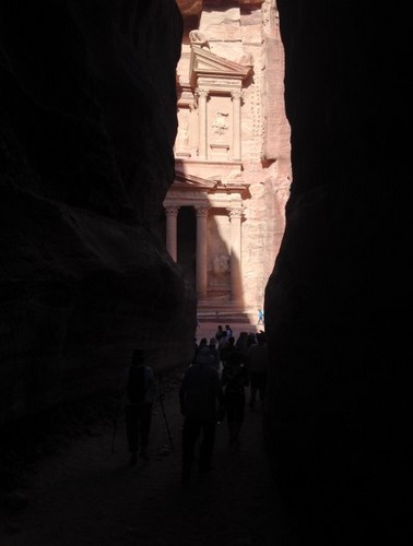
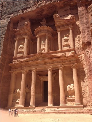
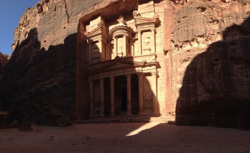
At one point, we hiked up 850 steps to Petra’s highest point, the site of ‘The Monastery.’ The only negative side of walking up all those steps is that we had to walk back down them later! This was by far the most strenuous hike we went on for the entire trip, but it was so worth it.
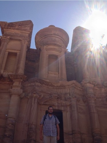
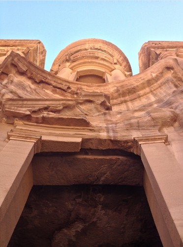
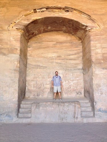
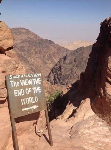
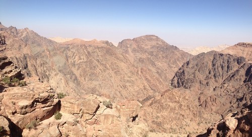
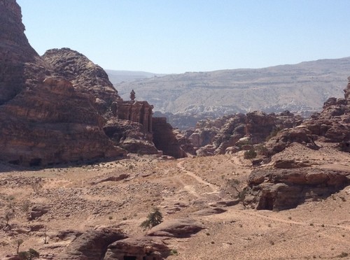
On our way to Bozrah, we stopped by another scenic outlook, this time near the Dana Wadi. It gave us a spectacular view of the land from which we just came.
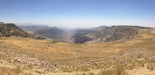
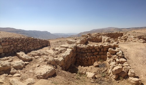
When we arrived at Bozrah, we learned about Edom and its relation to Israel like we did the day before with Moab. We learned that many of the biblical prophets (e.g. Jeremiah, Amos, Obadiah) had a low view of the Moabites. They were a people marked by violence, rebellion, and disregard for the one true God – which ultimately became their downfall. It truly is interesting to see how Israel has persevered throughout the ages when so many of their contemporaries fell by the wayside. The only thing that differentiated them from the people around them is that they were called out by God.
DAY THREE: AMMAN, MADABA, MT NEBO
The first location we visited on our final day was Amman, referred to as Rabbat Ammon in the Bible. It was here that Uriah was killed in battle after David’s affair with Bathsheba. We learned about how the city lies on a ‘tongue’ of senonian chalk between areas with greater resources (Upper Gilead to the north and Medeba to the south). Because the Ammonites didn’t have much, they had to be combative to get by – as such, they are portrayed as being particularly aggressive in the Bible.
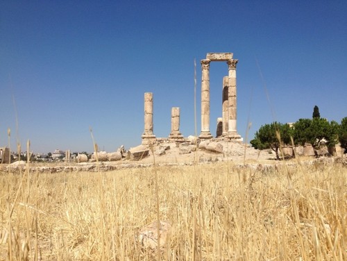
We then traveled to Saint George’s Greek Orthodox Church in Madaba to see the Madaba Map. The Madaba Map is a 1400 year old floor mosaic depicting the Holy Land, showing Jerusalem in great detail.
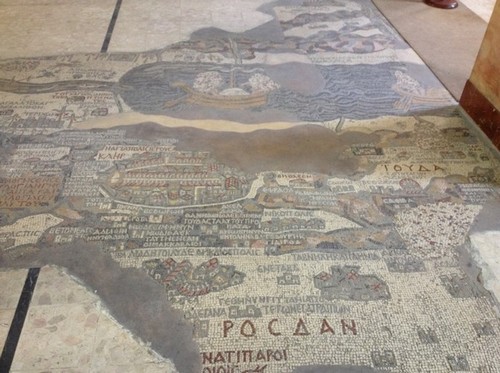
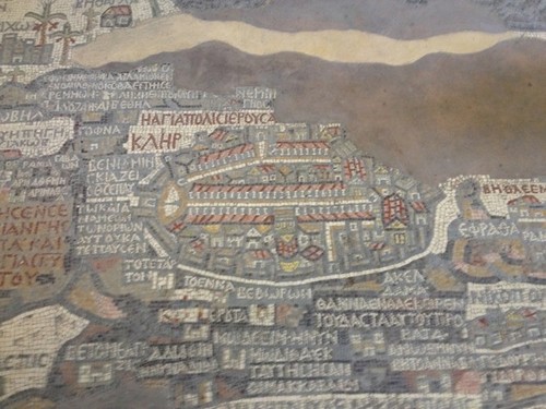
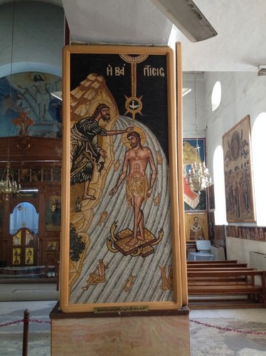
The archaeological and historical significance of the map is obvious – it portrays sections of Jerusalem that have been confirmed since its discovery – but the church in which it resides contains equally beautiful works of art.

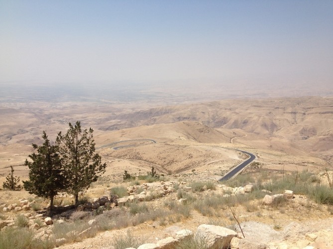
The final stop of our adventure was Mt Nebo:
Then Moses climbed Mount Nebo from the plains of Moab to the top of Pisgah, across from Jericho. There the Lord showed him the whole land—from Gilead to Dan, all of Naphtali, the territory of Ephraim and Manasseh, all the land of Judah as far as the Mediterranean Sea, the Negev and the whole region from the Valley of Jericho, the City of Palms, as far as Zoar. Then the Lord said to him, “This is the land I promised on oath to Abraham, Isaac and Jacob when I said, ‘I will give it to your descendants.’ I have let you see it with your eyes, but you will not cross over into it.” – Deuteronomy 34:1-4
I confess that I didn’t have many emotional moments during my time in Israel, but something about looking over the land that God promised his people got to me. In heading back to Jerusalem, I was about to cross over and enter the land that Moses’ feet never touched.
The fact that I’m even here is unbelievable. I know I’ve said this many times before, but I truly cannot say it enough: I am so grateful for the generosity, kindness, and support of the people who sent me to Israel and Jordan. Thank you so much to the donors, Sioux Falls Seminary, Jerusalem University College, Community Covenant Church, my friends, and of course my family! I do not take this experience for granted, and I pray that I will put it to good use in furthering God’s kingdom.
Amen. I’m ready to come home!